
THINGS YOU SHOULD KNOW
LEVEL OF DIFFICULTY
– MODERATE –
- Hours: Seasonal Hours Vary
- Trail Length: 1.4 Miles Round Trip
- Elevation Gain: 225 Feet
- Pets: Not Allowed On Volcano Trails
- Restroom Available
- No Hiking on Volcano Road
- No Biking on Volcano Road
- No Vehicles Over 26 ft. on Volcano
- Staffed Visitor Center
- No Camping

THINGS YOU MIGHT NEED
- National Park Pass
- Water
- Trail Map
- Athletic Shoes/Hiking Boots


ABOUT THE AREA
Capulin Volcano sits in a secluded area of Northeastern New Mexico about 30 miles east of Raton, New Mexico. It is located in the now extinct Raton-Clayton volcanic field. It is rather young in volcano years (58,000-62,000 years old), and it’s symmetrical cone rises to an elevation of 8,182 feet above sea level. The volcano was declared a National Monument by President Woodrow Wilson in 1916, and people have been venturing to the the top ever since. At the top of the volcano, you can take a hike around the mile long rim trail, and even venture 400 feet down into the bottom of the crater.

FINDING THE TRAILHEAD
Capulin Volcano is located just off US Highway 64 between Raton and Des Moines, New Mexico. It’s hard to miss the tall volcano rising from the surrounding plains, but signs will direct you to head north onto NM-325. After 2.8 miles you will come to the entrance on the right side of the road.
There is a nice sign and view of Capulin Volcano at the pull-off near the entrance. Continuing 1/2 mile up to entrance road will bring you to the visitors center. Here you can pay the vehicle entrance fee(unless you have a national park pass), and you will also find a book and souvenir store, educational information, interactive activities, and a short 10 minute film on the details of Capulin Volcano.
Once you are finished checking in at the visitors center, vehicles under 26 feet in length can make the 2.1 mile drive up the volcano will bring you to a large parking area with restrooms. There is no hiking or cycling allowed on Volcano Road due to the narrow width of the road. Once you have reached the parking lot, you will find the trails to the north and south taking you around the rim, and a trail to the west which will take you into the crater itself.
HIKING THE RIM TRAIL
The parking lot is situated at the lowest point of the rim trail, so regardless of weather you take the trail to the north or to the south, the trail will loop around the entire rim of the volcano, and you will end up at the other side of the parking lot.
Both directions begin with an ascent and end on a descent. For a longer, more gradual ascent, you want to start your hike to the south, and if you are looking for a faster, steeper ascent, head north.
We began our trek to the top of the volcano by heading south. The trail will take you up and around the rim of the volcano. Along the way you will find numerous informational waysides about the surrounding features. There are also benches for resting scattered across the entire trail, which come in handy during the hot, dry summer months. Be sure to take water with you.
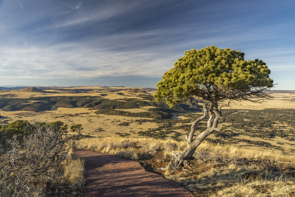
The trail is entirely made of asphalt, so hiking boots are not necessarily required, but a good pair of tennis shoes are a must. While the trail is not very long, it does present sweeping 360° views of the surrounding area. Along the trail you will also find picturesque Piñon Pine trees, the New Mexico state tree. Once you have made your way around the rim, a descent will return you to the parking lot.

HIKING THE CRATER VENT TRAIL
Another quick and unique hike at the top of Capulin Volcano is the Crater Vent Trail. This less then 1/2 mile round trip hike will take you to the bottom of the crater. Along this paved trail, you will descend 100 feet into the volcano. You will find that most vegetation transitions to a field of rocks and boulders at the bottom. Once you have finished exploring the crater, you return up the same path to the the parking lot above.

EXPLORING OTHER TRAILS
Rarely do you get the chance to explore a volcano in North America, and the hike at the top may take a few hours at most. Once you have taken in the views from the top, be sure to check out the other trails around the base of the volcano.
There are 4 miles of trails that wind through the volcano’s lava flows and prairies that surround the area. Some of these trails are also pet friendly, unlike the ones at the top of the volcano. You will also find a nice picnic area and restrooms along the road between the visitor’s center and volcano.
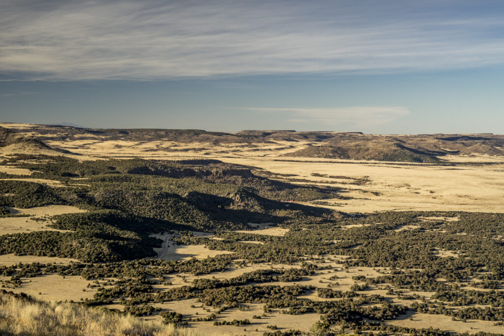
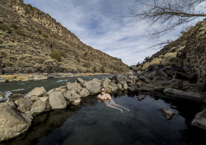
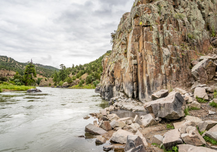
View from Capulin Volcano 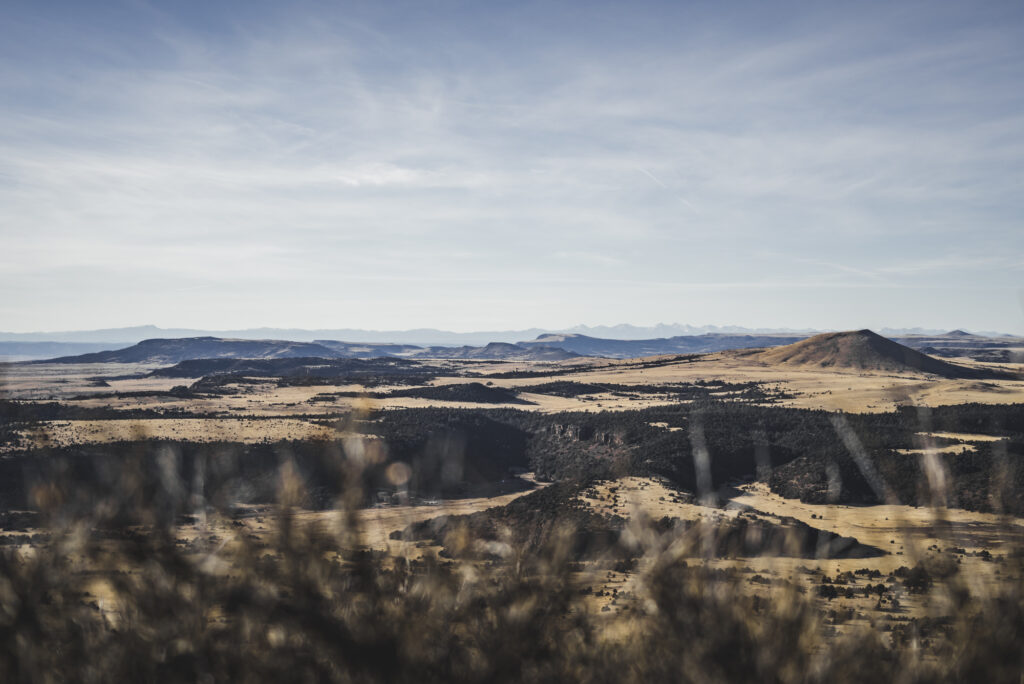
View from Capulin Volcano
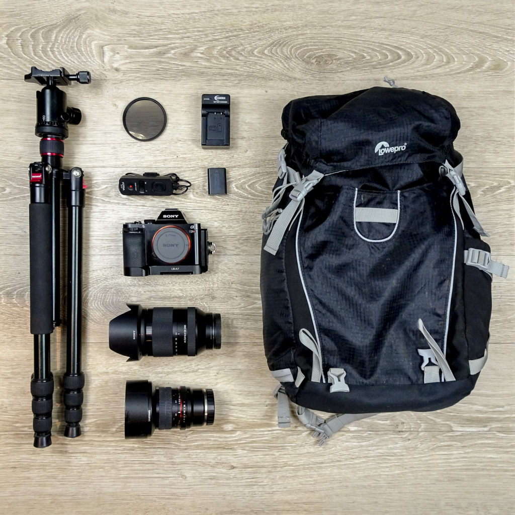
PHOTOGRAPHY GEAR USED