THINGS YOU SHOULD KNOW
LEVEL OF DIFFICULTY
– Moderate –
- Hours: Always Open
- Trail Length: 1.5 Miles Round Trip
- Elevation Gain: 328 Feet
- Pets: Allowed On Leash
- Restroom Available At Trailhead
- No Glass
- Camping At Trailhead
- Large Parking Area
- Located on BLM Land
- Pack Out All Trash
THINGS YOU MIGHT NEED
ABOUT THE AREA
Thanks for visiting!! We worked really hard to find one of a kind hot springs, free campsites, and unique ways to build our campervan. Please login/register to see ALL of our content for FREE!Thanks for visiting!! We worked really hard to find one of a kind hot springs, free campsites, and unique ways to build our campervan. Please login/register to see ALL of our content for FREE!
FINDING THE TRAILHEAD
Thanks for visiting!! We worked really hard to find one of a kind hot springs, free campsites, and unique ways to build our campervan. Please login/register to see ALL of our content for FREE!HIKING TO THE HOT SPRING
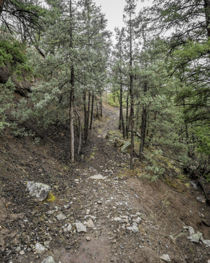
The beginning of your hike will take you straight up the rocky hillside and onto the plateau above. The incline will take you up just over a hundred feet in the first 1/10th of a mile. This is one of the more challenging parts of the hike, especially on the return trip, as it is easy to lose your footing on the loose rock. Once you have reached the top of the hill, the trail will split in 5 different directions. You will want to follow the widest, and most used path which continues straight north.
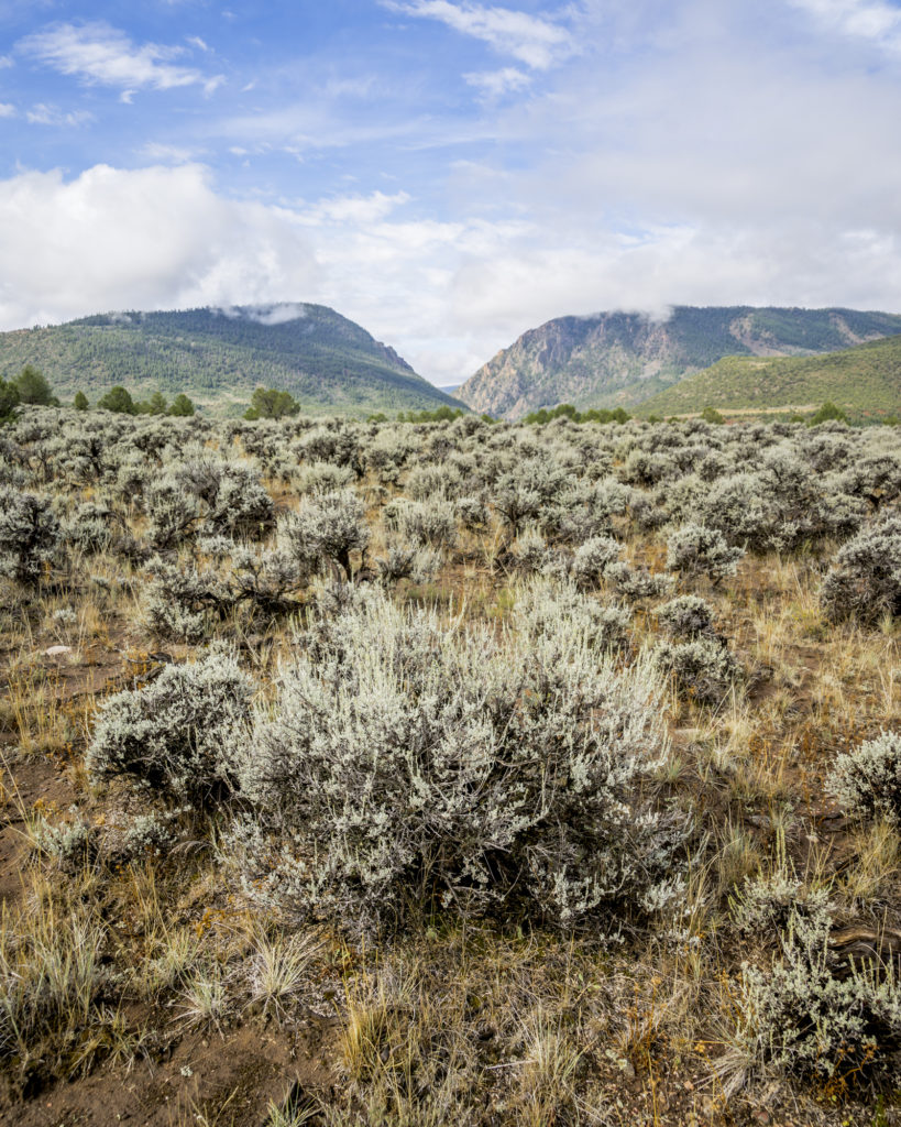
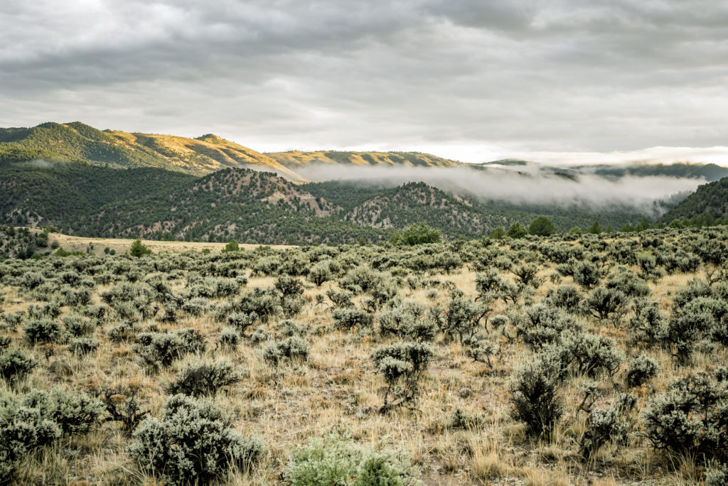
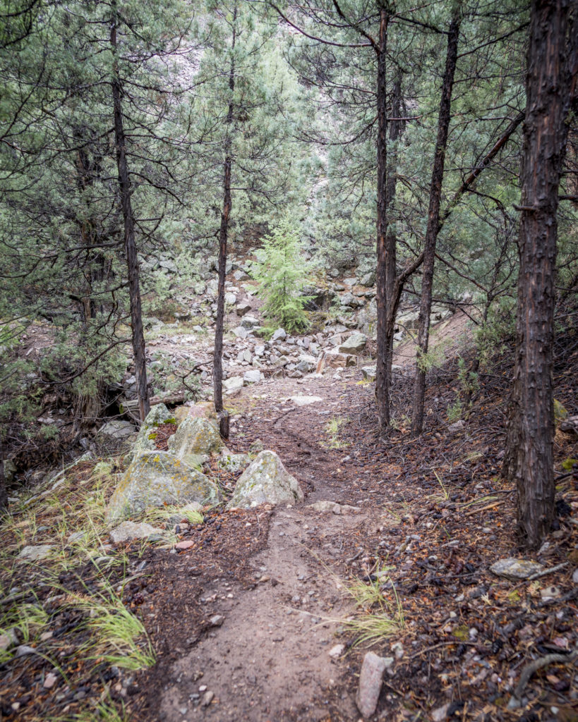
At roughly the quarter mile mark, you will come to a “Y” in the trail, here you will keep slightly right continuing to the north. Here you will enter a grove of trees and shrubs, where the trail will briefly split for around 400 feet, before joining back together before your next turn. At the .4 mile point you will take a right turn and head northeast over a creek bed. This trail will continue straight to the northeast for a quarter of a mile across the mesa.
Upon entering the second forested area, the trail will cross another drainage area from the surrounding mountains, and you will come to another “Y”. At this point you will turn left, and again head directly north towards the river valley. After a few hundred feet you will come to a defined open area with a fire pit, and you are now directly above the hot spring.
CLIMBING DOWN TO THE RIVER’S EDGE
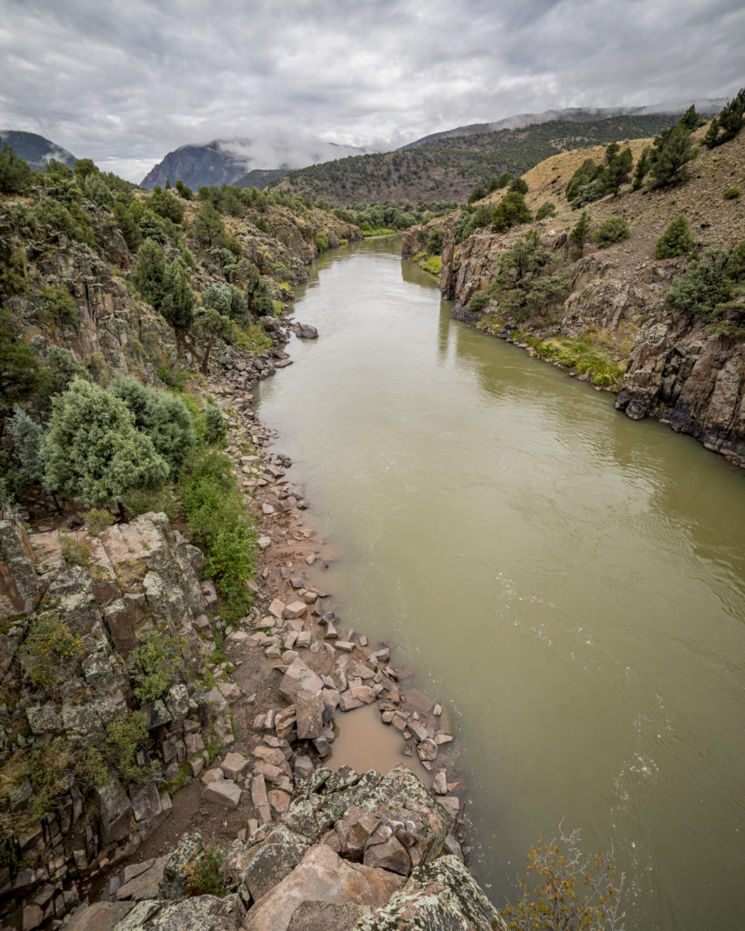
Upon walking to the edge of the cliffs above the river, you will find a slot in the surrounding cliffs to make your descent. This is the most challenging part of you hike, as you will be required to climb down 60-70 feet of rocks to the river’s edge. There is nothing technical about the descent, just take your time, and you will find several landings that make it easier. Once you have reached the bottom, you have now reached the hot spring.
SOAKING ON THE COLORADO RIVER
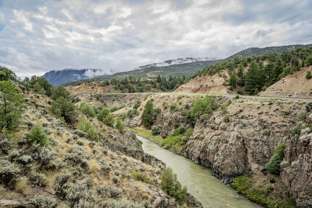
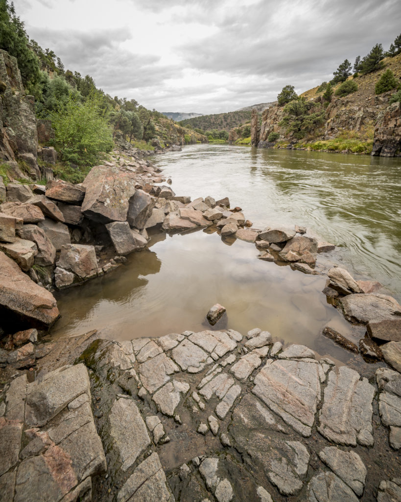
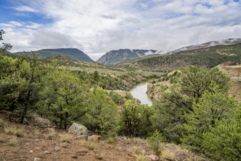
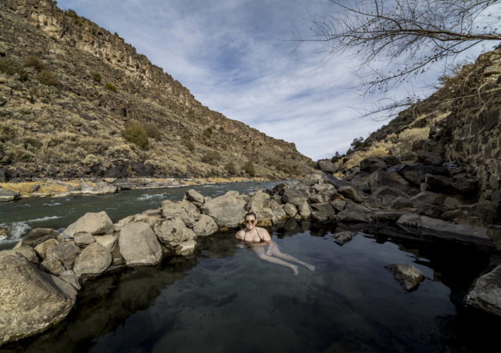
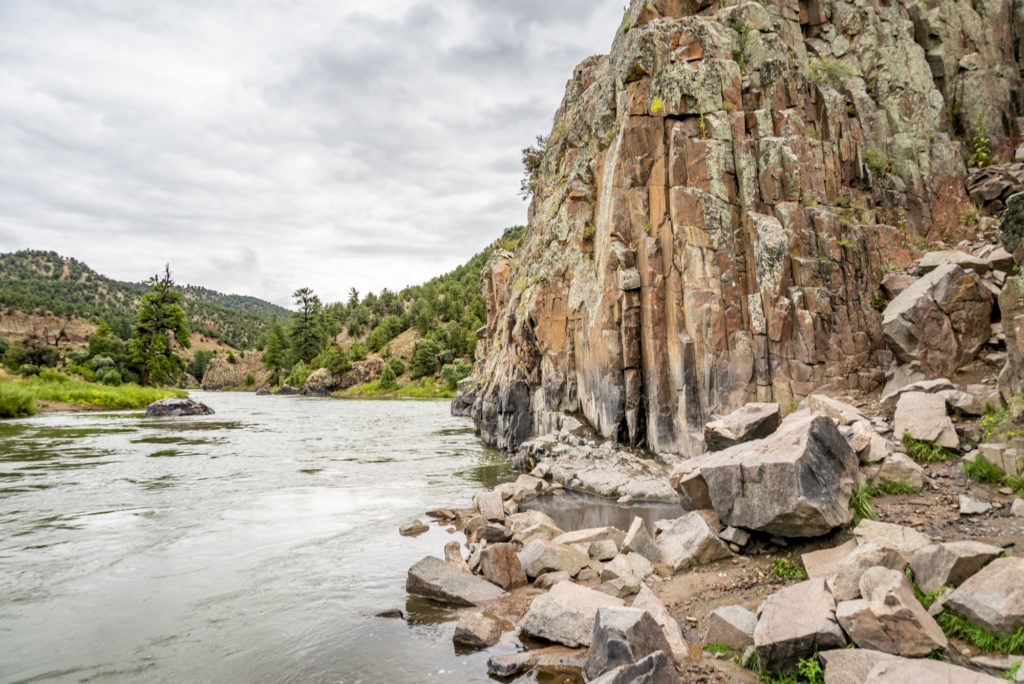
The hot spring is located adjacent to the Colorado River. The temperature and condition of the hot spring is largely dependent on water from the river seeping into the hot spring pool, and by runoff from the hills above. We visited after a substantial rainstorm the night before, so much so that parts of the access road to the campground contained washout from the surrounding hills, and the creek along the campground was out of its banks. At the hot spring, we found that runoff from the mesa above washed sediment into the pool, which resulted in discoloring of the otherwise clear water.
The hot spring is considered to have heavy use, especially during rafting season. As always, practicing Leave No Trace principles is vital to keeping these primitive locations accessible and in good condition for all who visit. While visiting you can expect to see frequent paddlers on the river, and many elect to make a stop at the hot spring. The area is popular for fishing as well due to the ease of access to the river. Plan to encounter other people as you visit these hot springs, and while clothing may be optional, be conscious of when you are visiting and the people around you.
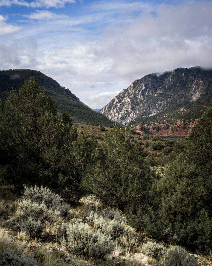
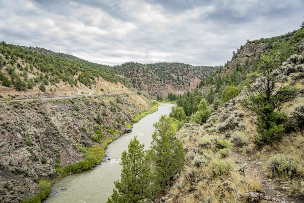
The entire area has an abundance of outdoor activities. After we visited the hot spring, we continued on the incoming trail to the northwest. This trail took us further up the valley through a forested area, and then descended down the hillside to the river below. With its close proximity to the river, and relative seclusion, this seems like it would be a popular fishing location.
Hiking Back to the Trailhead
Once you have finished exploring the hot spring and surrounding area, your return hike to the trailhead is a fairly easy one. You will continue back across the mesa, following the largest, most used trails. This part of the hike is relatively flat, until you come the the hillside just before the trailhead. Caution should be used descending the hillside to the road below, as there is an abundance of loose soil and rocks.
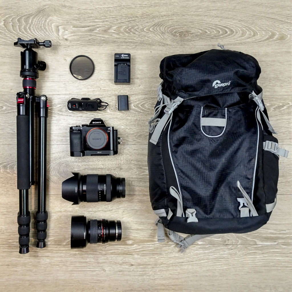
PHOTOGRAPHY GEAR USED
